


![BlueChart g2 Vision - VAE002R - Yellow Sea 2014.5 [16.00]](https://www.hostdel.com/banners/Hosting/728x90.gif)
Results 1 to 10 of 13
Hybrid View


-
25th May 2019, 01:35 AM #1


Re-uploaded this release
Enjoy.dennisolof Reviewed by dennisolof on . BlueChart g2 Vision - VAE002R - Yellow Sea 2014.5 [16.00] BlueChart g2 Vision - VAE002R - Yellow Sea 2014.5 (16.00) See your vessel’s precise, on-chart position in relation to navaids, coastal features and restricted areas with premium features found in this detailed marine mapping data. Includes all of the features of our BlueChart® g2 product, plus 3-D perspective above and below the waterline, Auto Guidance, high-resolution imagery, and aerial photos of ports, harbors, marinas and landmarks. Shaded depth contours, coastlines, spot Rating: 5Last edited by dennisolof; 22nd March 2021 at 06:49 PM.
-
The Following 1 Users Say Thank You to dennisolof For This Useful Post:
- [ Click To Expand ]
-
ta1234 (19th June 2021)
-
19th July 2019, 01:07 AM #2
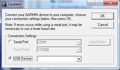
VAE002R.img file has not mount. UltraISO and win32DiskImager.
Are there four zip files?
![BlueChart g2 Vision - VAE002R - Yellow Sea 2014.5 [16.00]](https://www.hostdel.com/banners/RDP/300X250.gif)

 Register To Reply
Advertisements
![BlueChart g2 Vision - VAE002R - Yellow Sea 2014.5 [16.00]](https://www.hostdel.com/banners/Dedicated/728x90.gif)
Suggested Articles:
![BlueChart g2 Vision - VAE002R - Yellow Sea 2014.5 [16.00]](https://www.hostdel.com/banners/GameServer/728x90.gif)

![BlueChart g2 Vision - VAE002R - Yellow Sea 2014.5 [16.00]](https://www.hostdel.com/banners/Email/300X250.gif)


 Staff Online
![BlueChart g2 Vision - VAE002R - Yellow Sea 2014.5 [16.00]](https://www.hostdel.com/banners/Dedicated/300x600.gif)
iGO R3 HERE EUROPE 2023.Q4
thanksssssssssss