


![BlueChart g2 Vision - VUS032R - Southern Gulf of Mexico 2014.0 [15.50]](https://www.hostdel.com/banners/Hosting/728x90.gif)
Results 1 to 2 of 2
Hybrid View


-
25th March 2021, 08:55 PM #1


Re-uploaded this release
Enjoy.dennisolof Reviewed by dennisolof on . BlueChart g2 Vision - VUS032R - Southern Gulf of Mexico 2014.0 [15.50] BlueChart g2 Vision - VUS032R - Southern Gulf of Mexico 2014.0 (15.50) See your vessels precise, on-chart position in relation to navaids, coastal features and restricted areas with premium features found in this detailed marine mapping data. Includes all of the features of our BlueChart® g2 product, plus 3-D perspective above and below the waterline, Auto Guidance, high-resolution imagery, and aerial photos of ports, harbors, marinas and landmarks. Shaded depth contours, coastlines, Rating: 5
-
The Following 1 Users Say Thank You to dennisolof For This Useful Post:
- [ Click To Expand ]
-
tomojure (25th March 2021)
![BlueChart g2 Vision - VUS032R - Southern Gulf of Mexico 2014.0 [15.50]](https://www.hostdel.com/banners/RDP/300X250.gif)

 Register To Reply
Advertisements
![BlueChart g2 Vision - VUS032R - Southern Gulf of Mexico 2014.0 [15.50]](https://www.hostdel.com/banners/Dedicated/728x90.gif)
Suggested Articles:
![BlueChart g2 Vision - VUS032R - Southern Gulf of Mexico 2014.0 [15.50]](https://www.hostdel.com/banners/GameServer/728x90.gif)

![BlueChart g2 Vision - VUS032R - Southern Gulf of Mexico 2014.0 [15.50]](https://www.hostdel.com/banners/Email/300X250.gif)


 Staff Online
![BlueChart g2 Vision - VUS032R - Southern Gulf of Mexico 2014.0 [15.50]](https://www.hostdel.com/banners/Dedicated/300x600.gif)
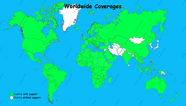
Worldwide COVERAGES and SEARCH
Updated post # 1 : 01/06/24 (v. 67.7.9) ...