


Results 1 to 2 of 2
Threaded View


-
29th October 2011, 10:15 PM #1
 Garmin Master

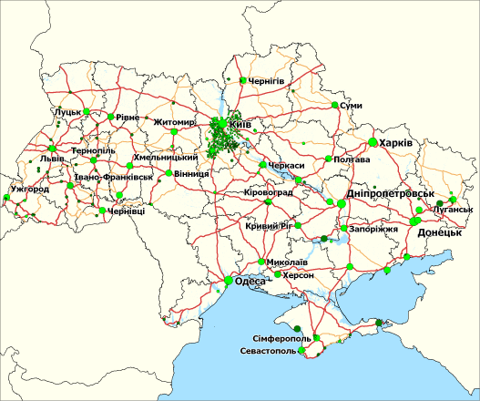
 Carte Blanche Ukraine Map v2011.06 (2011.07)
Carte Blanche Ukraine Map v2011.06 (2011.07)
Credits to Catymag
Specification
- Automatic route calculation with regard of Traffic regulations
- Total length of road coverage: 433 900 km
- Detailed coverage of settlements: 46.8% of the Ukrainian population, or 534 settlements, including 119 cities, in particular, all regional centers and all cities with more than 130 000 inhabitants; almost all of this coverage (41.4% of population) includes address search
- Building footprints and building numbers: 36.2% of population
- 3D buildings (elevated footprints): 11.7% of population
- Detailed coverage of all settlements in Bilotserkivs'kyi, Boryspil's'kyi, Brovars'kyi, Kaharlyts'kyi, Kyievo-Sviatoshyns'kyi, Obukhivs'kyi and Vasyl'kivs'kyi Districts (rayons) of Kyiv Region (oblast)
- Detailed coverage of the in-block passages in the majority of the residential districts in Kyiv and in many other cities
- Time dependent driving restrictions
- Lane Information – available for Kyiv–Boryspil’ highway and for a number of intersections in Kyiv
- Signpost information – available for Kyiv–Boryspil’ highway
- Basic coverage of the road network without street naming and address search: most settlements with more than 5 000 inhabitants
- A large number of grade-separated intersections
- A large number of unpaved roads
- Number of POIs: more than 64 200, a lot of them contain contact information
- Railways, forests, parks, rivers, streams, channels, lakes and seas
- Languages: Ukrainian (Cyrillic), English (Latin)
- Updates are issued on a trimestrial basi
MapID: 575
Download Locked Image: English (Latin)
Download UnLocked Image: English (Latin)
Download Locked Image: Ukrainian (Cyrillic)
Download UnLocked Image: Ukrainian (Cyrillic)
Info:
 p33dro Reviewed by p33dro on . Carte Blanche Ukraine Map v2011.06 (2011.07) Carte Blanche Ukraine Map v2011.06 (2011.07) Credits to Catymag Specification Automatic route calculation with regard of Traffic regulations Total length of road coverage: 433 900 km Detailed coverage of settlements: 46.8% of the Ukrainian population, or 534 settlements, including 119 cities, in particular, all regional centers and all cities with more than 130 000 inhabitants; almost all of this coverage (41.4% of population) includes address search Building Rating: 5


 Register To Reply
Advertisements

Suggested Articles:

Similar Threads
-
Ukraine Carte Blanche 2014.12
By nyky in forum iGO ArchivesReplies: 0Last Post: 27th March 2015, 04:03 PM -
Ukraine Carte Blanche 2014.12
By nyky in forum iGO MapsReplies: 0Last Post: 27th March 2015, 04:03 PM -
Carte Blanche Ukraine Map v2011.06 (2011.07)
By p33dro in forum Garmin MapsReplies: 1Last Post: 30th October 2011, 05:01 PM -
nDrive Map Asia Pacific 2011
By dth1982 in forum NDriveReplies: 0Last Post: 21st June 2011, 08:02 PM -
New maps sygic aura 2011
By Mobile_Guru in forum Sygic WCEReplies: 0Last Post: 18th June 2011, 01:31 PM


 Staff Online

Lexus Nx300H update maps
This is English?? I need to update lexus NX300h...